Looking for a good hike?
All Trails offers a good app to find your favorite hike. The following hikes are my favorites some are shorter some are good for a day hike. All of them in the greater Seattle area depending where you live you have to drive between 20 minutes and 1.5 hours.
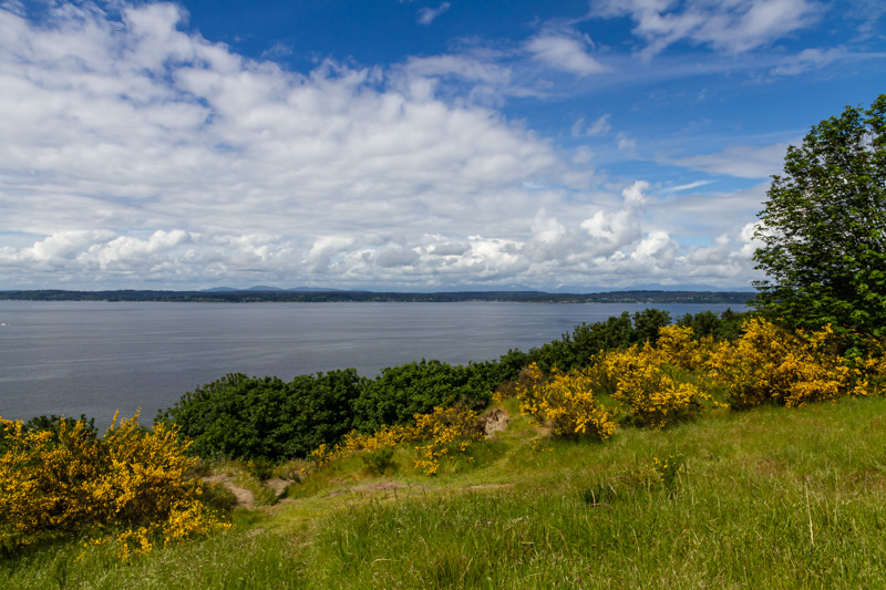
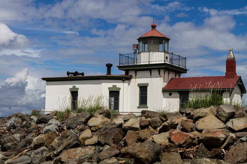
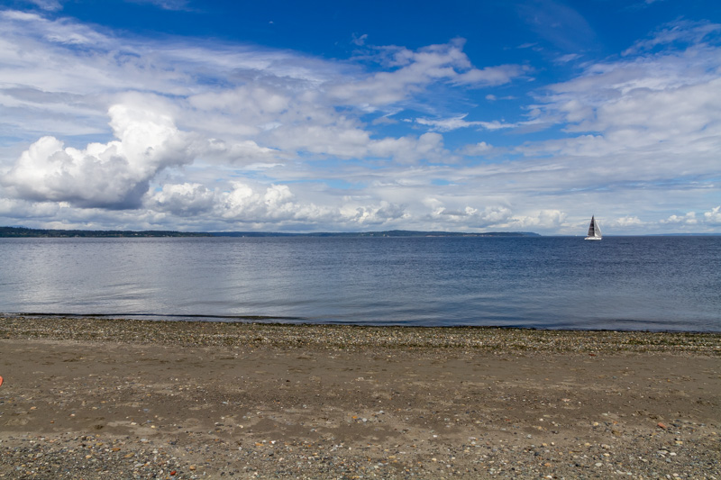
Discovery Park Trail, in Seattle is a 3.9-mile (2.5h) round trip and pretty popular, but it offers a lot. There is a Lighthouse, tennis courts, children play area, picnic tables as well as a beach area (beach parking with permit) and you might be lucky a can catch a glimpse of wild live there is also a big lawn for picknick and dogs are allowed on lash. At the moment (dec. 2020) the parking lot and visitor center are closed.
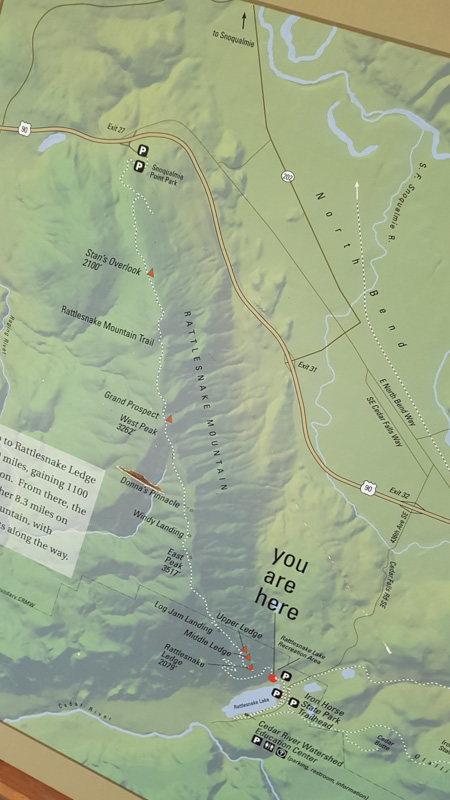
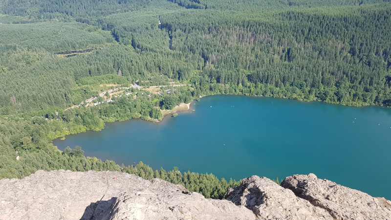
Cedar Butte Trail and Falls in just across from Rattlesnake Mountain Trailhead at Rattlesnake Lake Recreation area. To be honest we have not done this one yet, but I hiked 3 times the
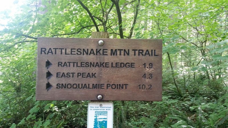
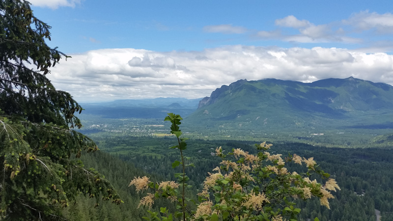
Rattlesnake Ledge Trail and it was always fun especially with great weather. Please check if its open unfortunately at the moment the hike is closed (Nov. 2020).
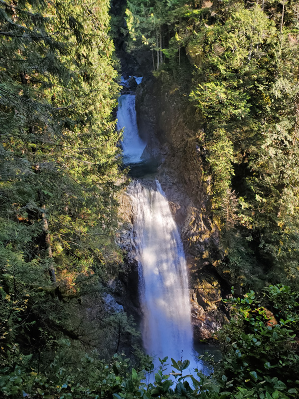
Twin Falls Trailhead (part of Olallie State Park), near North Bend is a 2-mile round-trip (1h), 300 feet elevation gain
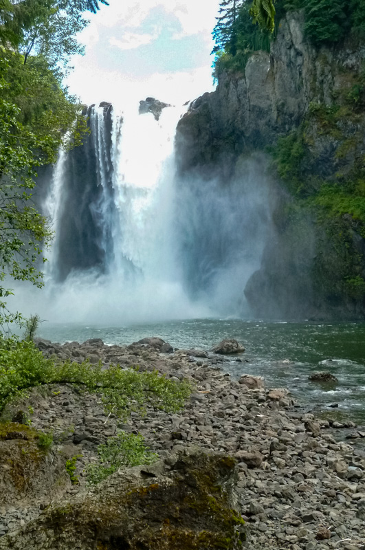
Snoqualmie Falls it is a must if you have not done it yet. The interpretive trail is just 1,5 mi (45 min) in and out. Its great for families but it is touristy.
Tolt Pipeline Trail just around the corner form us (Duvall), 17,4 miles between Kelly Rd. NE (near Duvall) and Blyth Park near the Sammamish River Trail (Bothell). The surface is gravel its also great for riding your bike.
Snoqualmie Valley Trail is a 27-mile long trail between Duvall and North Bend with connection to Tolt Mac Donald State Park which offers 12 miles of forested trails.
You can access the the Snoqualmie Trail at McCormick Park, Nick Loutsis Park, 356th PL SE, Rattlesnake Lake Recreation Area, and NE 4th & Ballarat Ave in North Bend.
Mose Lake Trail not the 3.7 miles Loop is located near Carnation.
Cherry Creek Falls in Duvall is a 5 miles (2h) hike through the forest, the parking lot is small and fills up quickly.
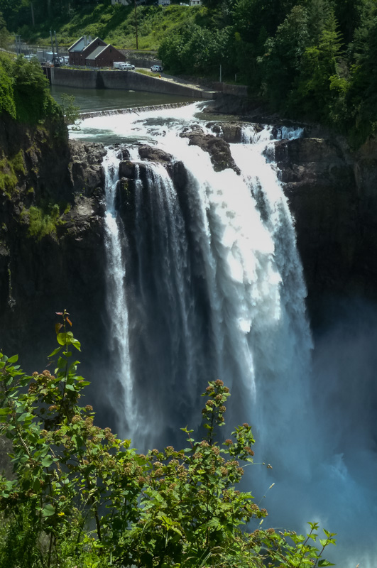
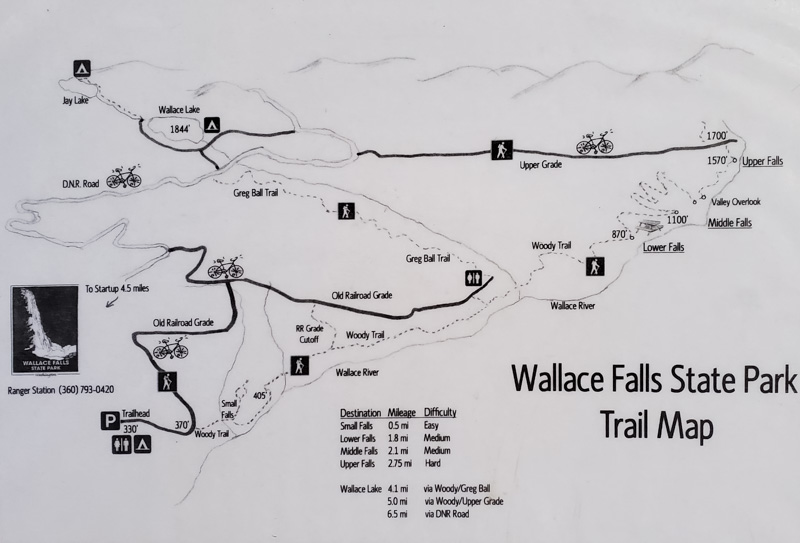
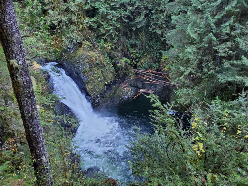
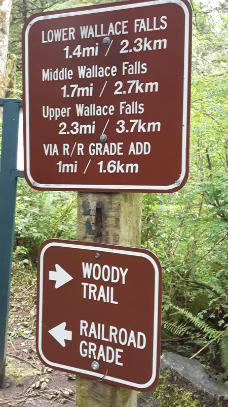
Wallace Falls State Park near Index offers 12 miles ( aprox 4.5 h for 10 miles) of hiking trails and 5 miles of biking trails its extremely popular, so check the live camara on the website when you go.
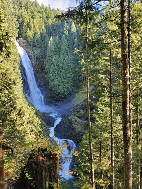
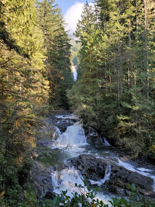
Lake Serene Bridal Veil Falls, near Gold Bar not far from Wallace Falls State Park is an almost 8 miles hike in and out. The best time to go is between Mai and October and you need a Northwest Forest Pass, the parking lot fills up fast. It’s a great hike in summer since almost the whole hike goes though the shady forest.
Lord Hill Regional Park, near Snohomish, 3–6 miles round-trip, scant elevation
Old Sauk River Trail, 1 to 6 miles out and back, less than 100 feet elevation
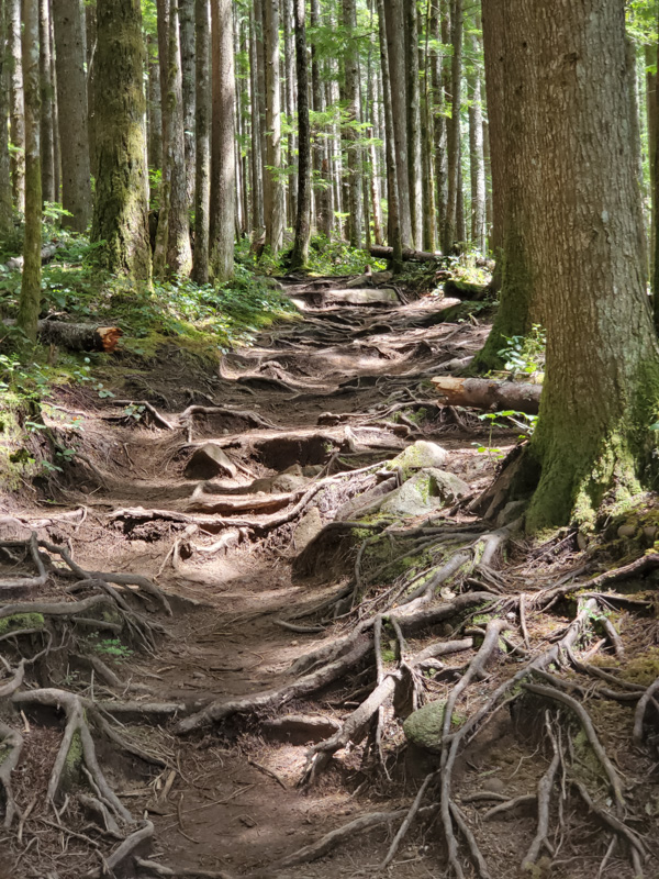
Heybrook Lookout, 2.6 miles round trip, 850 feet elevation near Index, this nice little hike starts of the Road, on the weekends it gets busy – so start early or later when most people already leave. The view is really stunning from the Lookout.
Big Four Ice Caves Trail is a very busy, easy 2.2 miles round trip with 220 feet elevation in the Mount Baker National Forest Area. It is genuinely nice for families but at the moment the hike is closed due to the missing bridge. (Nov. 2020)
These hikes are on my to hike list
Poo Poo Point Trail, 7.5 mile, 5h, out and back, Tiger Mountain State Forest, Issaquah
Mt. Si Trailhead, out and back, 7.9 mile, 5.5 h
ZigZag Trail 6.3 mile, out and back, Mount Baker Snoqualmie Forest, near North Bend
Mount Washington Trail, 9.2 miles out and back, Olallie State Park, near North Bend
Granit Mountain Trail 8.5 mile out and back, 6h, Mount Baker Snoqualmie Forest near Snoqualmie Pass, 3740 ft step best time June – Oct. icy in December.
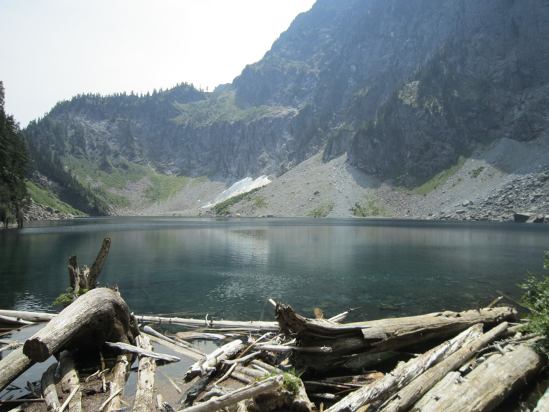
Lake Ann, 9.5 mile ca 2500 ft elevation gain, 6hrs at 4 miles Lake on top the view is gorgeous so don’t skip it. Mount Baker National Forest
Okanogan-Wenatchee National Forest, North Cascades Highway -distance: 3.4 miles round-trip, 700 feet elevation
Tonga Ridge – Mount Baker-Snoqualmie National Forest, distance – 6 miles round-trip, 400 feet elevation
Hurricane Hill Olympic National Park, Hurricane Ridge, 3 miles round-trip, 950 feet elevation
Naches Peak Loop – Mount Rainier National Park at Chinook Pass, 3.2 miles round-trip, 600 feet elevation
Panorama Point, 5 miles round trip, 1,300 feet elevation – Mount Rainier NP
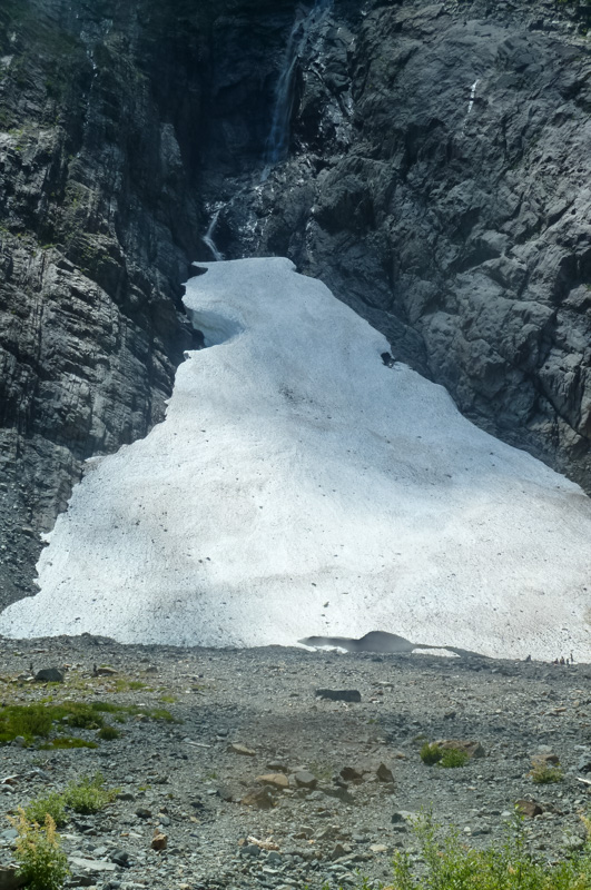
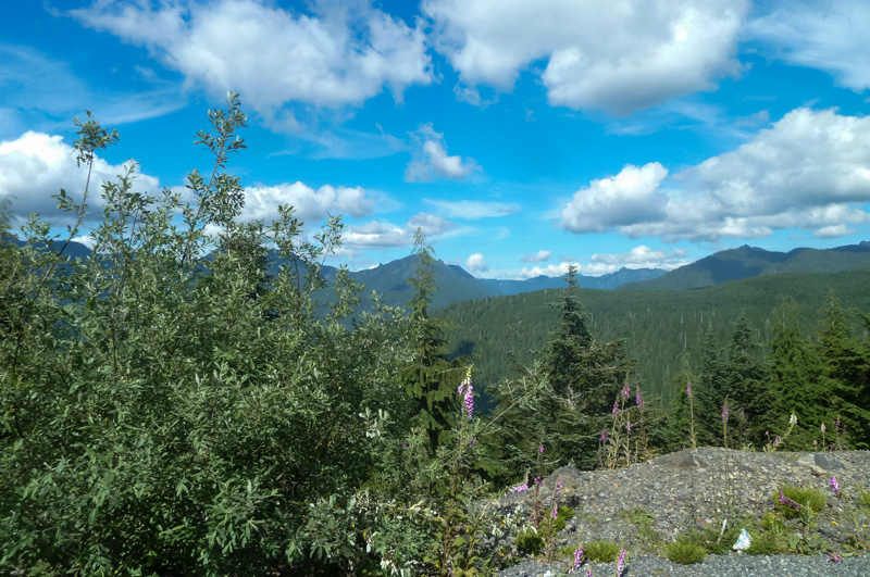
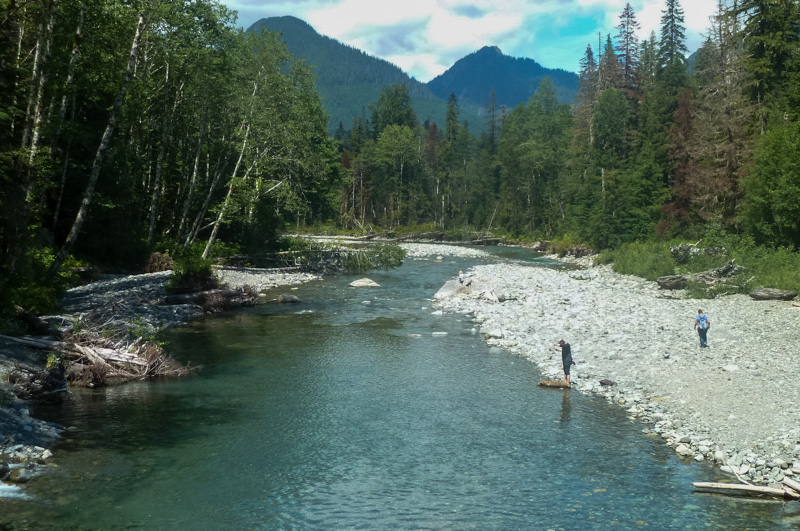
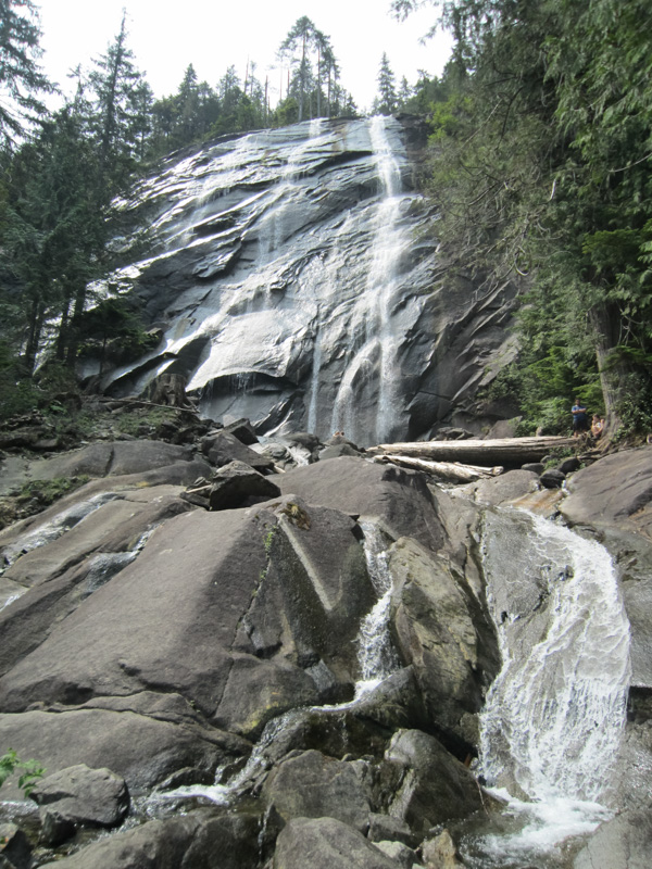
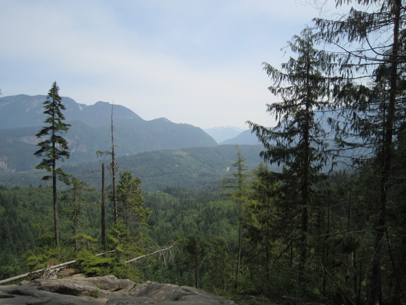
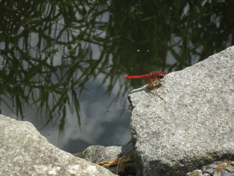
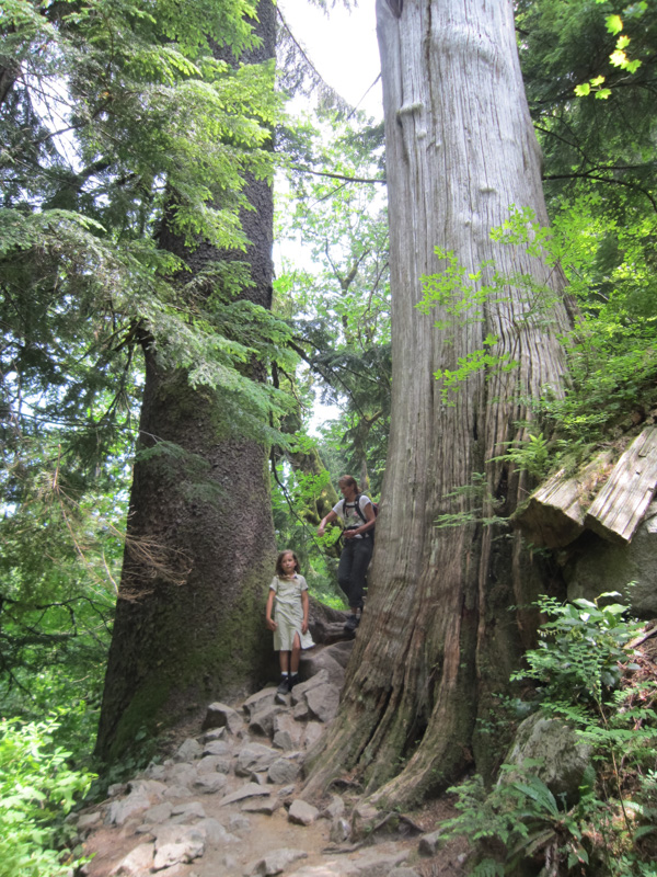
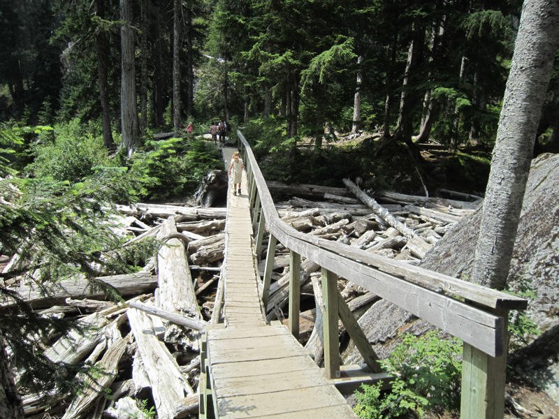
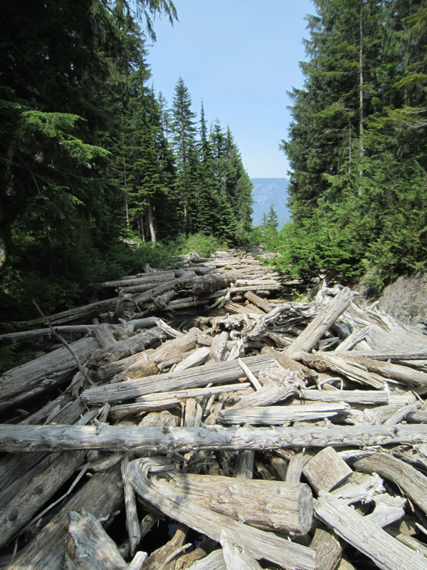
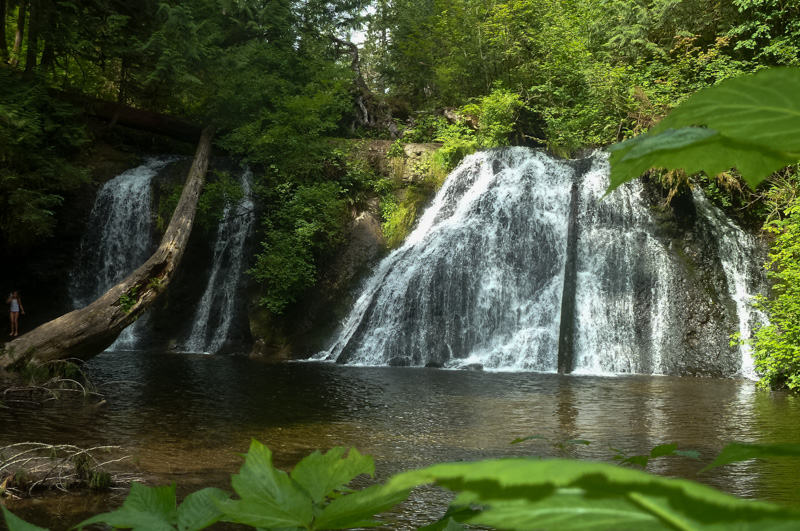
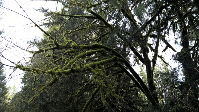
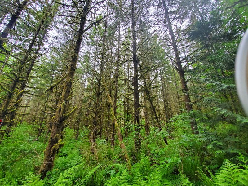
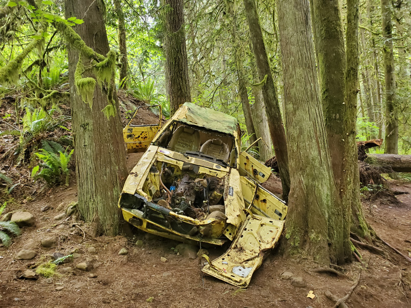
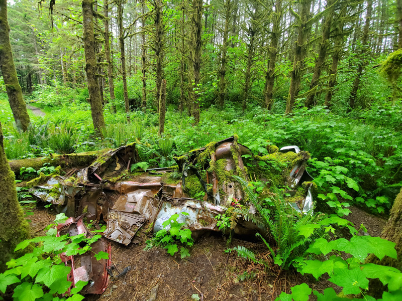
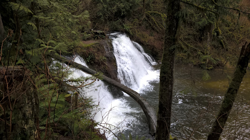
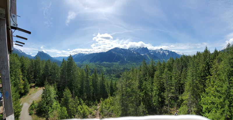
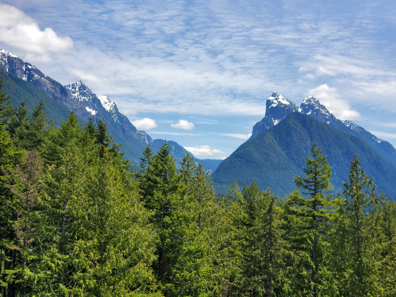
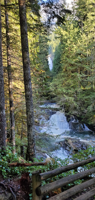
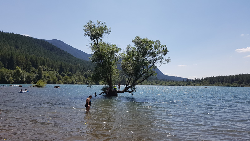
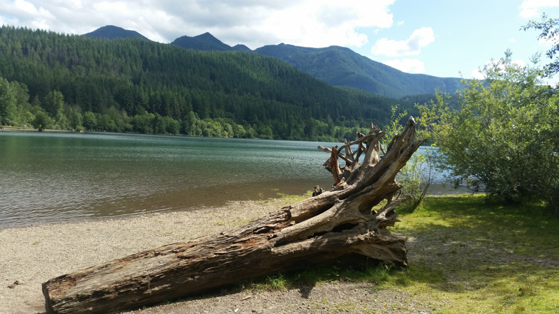
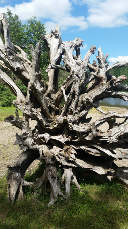
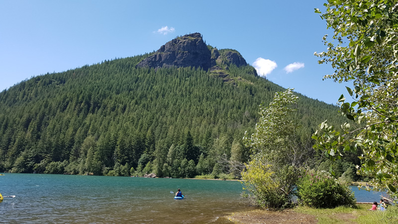
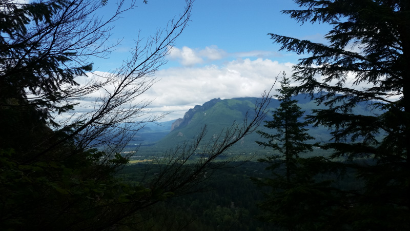
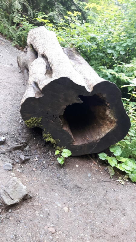
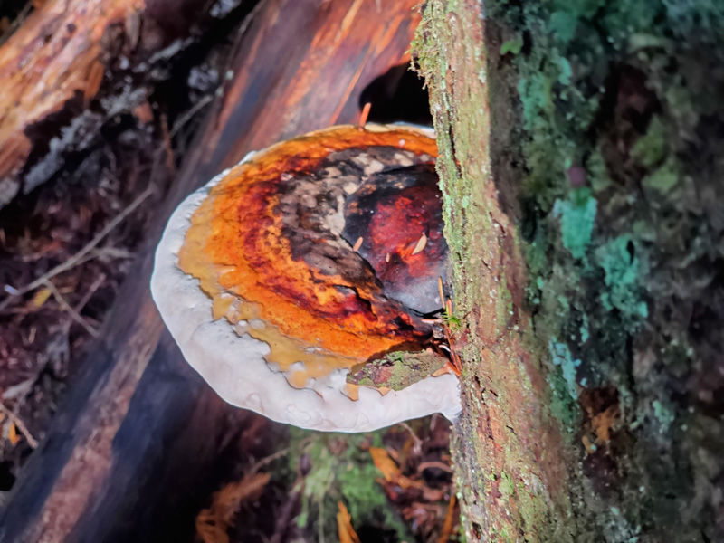
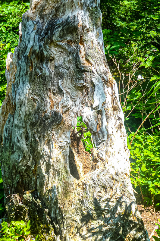
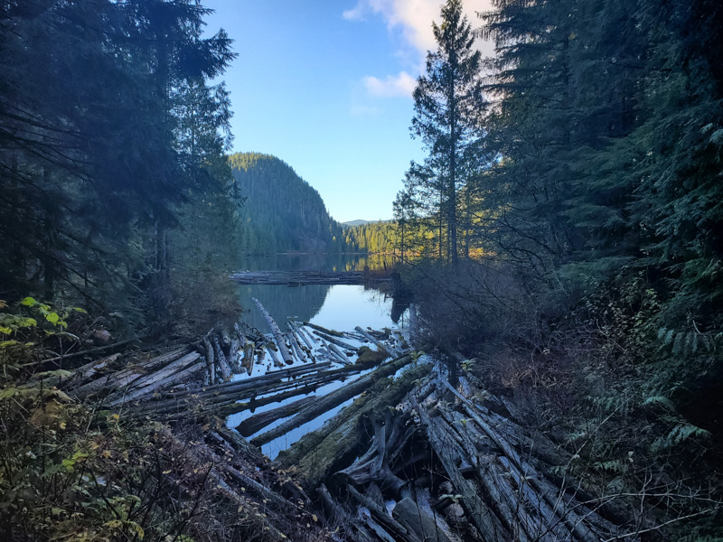
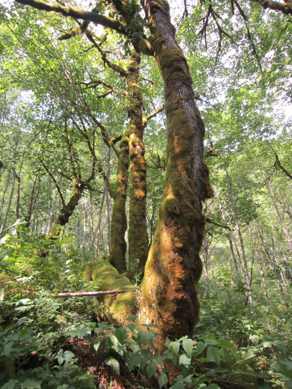
Some hiking impressions …


Map; Hikes and Falls around Seattle
How to get the most out of the interactive map:
Option 1: Click on the rectangle at the top right and save the complete Hike and Falls map with the highlights & tips in Google Maps. With a click on the star the map is saved as a favourite.
Option 2: Click on individual sights, then a drop-down menu opens on the left. You can use this to “open in Google Maps” the sight and save it there as a favorite.
Europe destinations and recipes
Recipes